We had the good fortune to visit Oaxaca, Mexico in February this year. Then the covid-19 crisis reared its ugly head and we have been pretty much stuck in St Paul ever since. We have been able to visit our daughters frequently, and gotten lots of bike riding and local hikes in – but we have really wanted to get out of town — somehow, somewhere… Throughout the covid crisis, we have been very concerned about reducing our risk of getting sick. We thought that if we:
- spent our time in low-risk counties (in any random group of 10 people, probability of a virus carrier is less than 10%)
- avoid eating in restaurants – prefer patio dining, takeout or camp cooking
- avoid other mass gatherings of people
- always wear masks when out in public
… then perhaps we could do this … more or less … safely.
To calculate low-risk counties we used this risk assessment tool from Georgia Tech (see header graphic): https://covid19risk.biosci.gatech.edu/
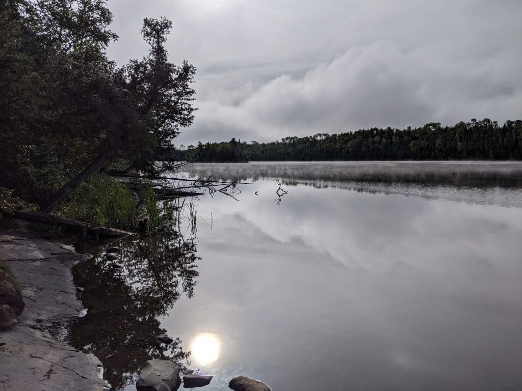
We also wanted to wait until the pre-Labor day crowds had thinned, so we took off from St Paul the day after Labor Day – heading for the Gunflint Trail leading north from Grand Marais, MN. We were surprised at how many people we saw there – guess they were all waiting until after Labor Day as well 🙂 Unfortunately, this was also the day the first real cold front of the season came in. We had a very cold and wet camping experience near beautiful Flour Lake — about 30 miles north of Grand Marais. Luckily, our sleeping bags zip together and we were able to stay warm enough.
Here in Cook County, the covid risk was less than 1%, and compared to our later experiences in the Dakotas and western Minnesota, the health protocols followed in Grand Marais were much more strict. Lots of masks being worn and when we visited a grocery store for supplies, there was an employee at the door monitoring potential shoppers and only one of us was allowed to enter.
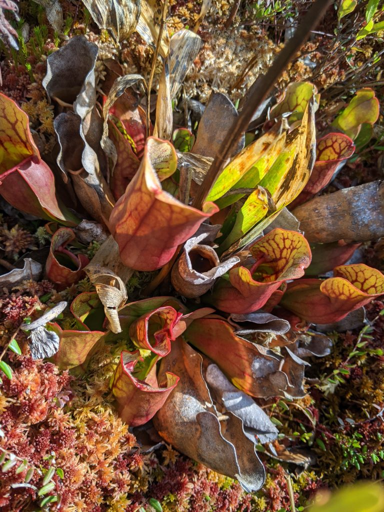
After several nights of shivering in our sleeping bags, we decided to pack up and head west – because the weather forecasts looked more promising in that direction. (I think I forgot to mention — we only planned our first stop. Everything after that was completely ad lib.) Next stop was Beltrami County. Here, the covid risk hovered around 8%, and the folks there did not seem very careful about it. Very few masks in evidence, and the restaurant we stopped at for supper invited patrons not to wear them with a sign posted “if you aren’t wearing a mask, we’ll assume you have a disability …”. Our motel operator seemed careful though. Had to check-in online and she left the keys in the room for us. The next day we hiked on the mile long boardwalk extending out into the Big Bog. This is part of the Red Lake Peatland SNA — very cool indeed, and with lots of carnivorous plants out there … so watch your step!!
After hiking into the bog, we decided to continue west, to Rollete County, ND. This is the portal to the International Peace Garden — a garden that straddles the US-Canada border and one of the very few places in Canada that US citizens can visit during this covid outbreak. To reach the garden, drive north on US281 to the Canadian border – past the US border checkpoint, but not as far as the Canadian checkpoint. About 20 feet past the border, you can turn west onto a road that leads into the garden. Once inside, several different roads lead to various hiking trails, picnic tables, campsites and gardens on both sides of the border.
After visiting the park, we had to return through the US checkpoint and I got a chance to use my “Enhanced Drivers License” – which allows the bearer to cross the US border by land or water without the need for a passport. Teresa and I both jumped through many hoops to get one of these after returning from Spain last year. It worked! Just waved it at the camera as I drove toward the checkpoint. The agent said “Hey! That thing works great!” and waved us through…
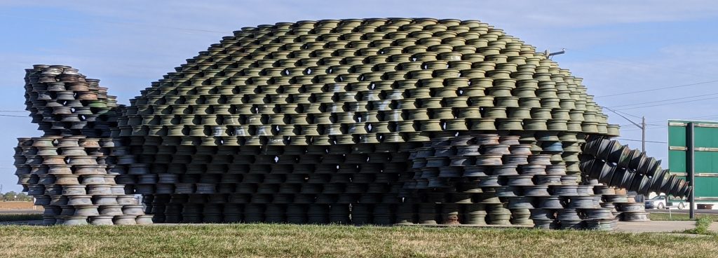
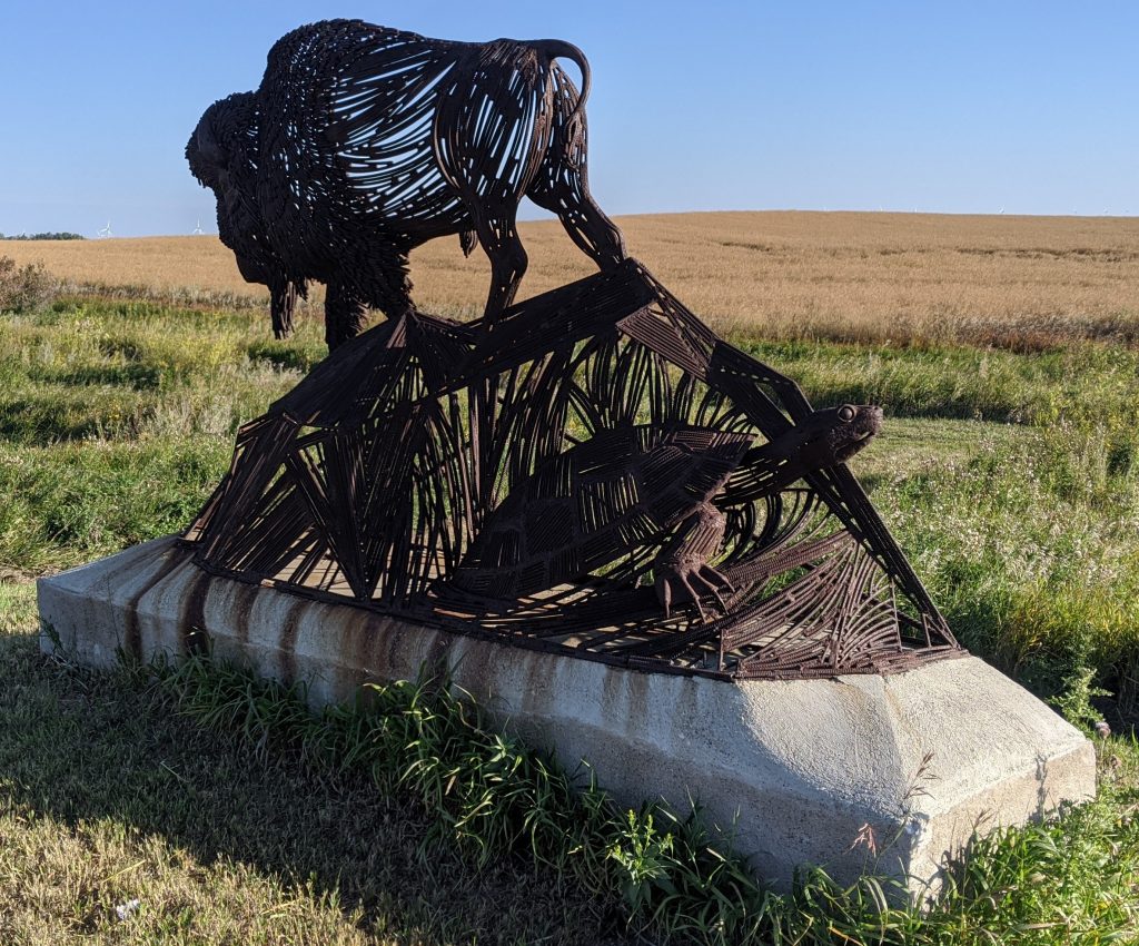
This area is also the portal to the Turtle Mountains region of North Dakota and Manitoba. We passed this fantastic turtle sculpture made from old tire rims – it’s in Dunseith, ND. This is also near the Turtle Mountain Reservation — the people on the reservation appeared to be more careful about wearing masks — but we didn’t see many folks wearing them in Rolla – so we tried to stay out of restaurants there.
After two nights in Rolla, we drove west to the badlands of McKenzie County, ND. The campground in Theodore Roosevelt NP (North Unit) was closed, but we found a campsite in the Little Missouri National Grassland about a mile from the park entrance. It was fun to see the buffalo roaming about freely – and this park is very lightly visited, so there were hardly any other folks in the park when we visited. Camping here was considerably warmer than in Minnesota, but still cool enough for Teresa and I to zip our sleeping bags together…
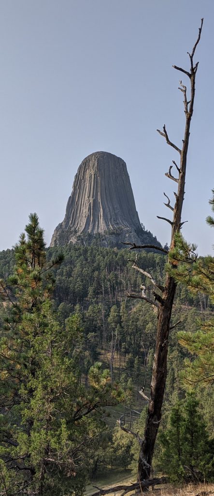
The next morning we headed southwest towards Crook County, WY to have a look at Devils Tower. It took the better part of 5 hours to drive through mostly grasslands — with hardly a tree in sight the entire way until we entered the Black Hills National Forest west of Belle Fourche, SD. We camped about 20 miles east of the tower — while there I met another camper who told me about a hiking trail near Devils Tower — Joiner Ridge — which was indeed a pleasant hike with no others people on it. We also drove to the visitors center but it was crowded — we didn’t go in.
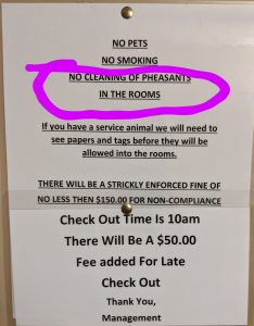
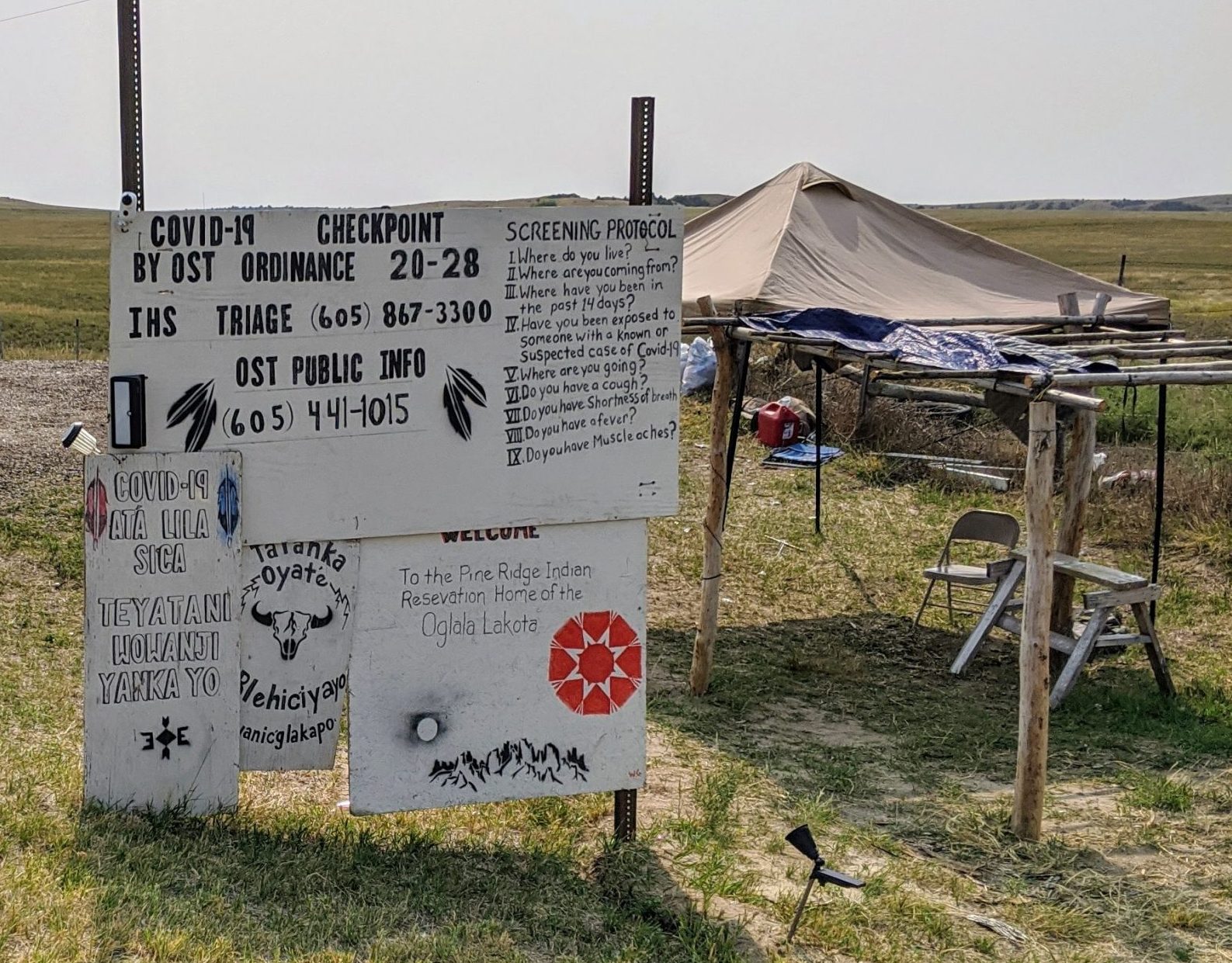
From there we headed southeast to Jackson County, SD — home to Badlands National Park and Minuteman Missile National Historic Site. We needed to do some laundry about this time – and were tempted to stop in Custer, SD for the night to accomplish that task — but it was extremely crowded with tourists – few of whom were wearing masks. So we bypassed it in favor of a motel in Interior, SD (which also had laundry machines 🙂 Interior (population 94) is adjacent to both the Pine Ridge Indian Reservation and the visitors center at Badlands NP. The park visitors that we encountered in town were good at wearing masks – the locals didn’t seem to wear them. At the reservation borders there are checkpoints where they quiz you on your health status and request you to drive straight through without stopping anywhere.
After breakfast the next day we drove to the park and drove a scenic loop road to Wall, SD – then stopped at the Missile NHS – which displays a decommissioned Minuteman Missile along with its underground silo. As a child of the Cold War, I found the missile site to be one of the most interesting historical sites visited on this trip. After this we hopped in the car and headed east again — this time to the town of White Lake in Aurora County, SD. Again – not too many masks in evidence, however the motel operator was very careful, and left the room open with lights on and our keys inside.
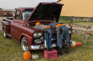

We did no sightseeing here, opting instead to drive further east to Pipestone, MN where we stopped for a while at the Pipestone National Monument just outside Pipestone, MN. Native Americans have quarried a soft rock here for thousands of years, and shaped it into ceremonial pipes and other objects. There is also a lot of red granite in the area which is used as building stone in many of the older downtown buildings of Pipestone. From here, we continued northeast to New Ulm, MN where we spent the night at a Best Western. Now that we were back in Minnesota, it was obvious that people were taking the covid issue much more seriously – almost everyone wearing a mask. That was true in Pipestone as well as New Ulm.
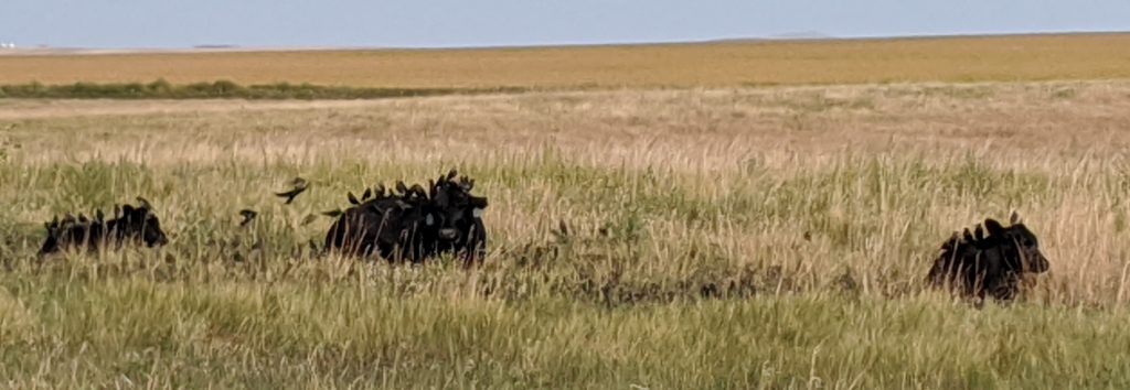
We followed the Minnesota River Valley on our way back to St Paul, with a detour to New Prague where we stopped at Lau’s Czech Bakery for kolacky to bring back for our daughters.

😄😄😄
Really enjoyed your report.
😎
I’m so glad you got to do this fun adventure! 🙂